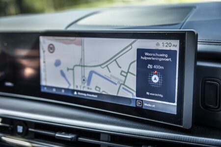
The European inLane project has successfully tested its prototype lane-level, turn-by-turn navigation application during trials near Eindhoven in the Netherlands.
Funded by the European Global Navigation Satellite System (EGNSS) Agency, the inLane project proposes a new generation, low-cost, lane-level, precise turn-by-turn navigation application by fusing EGNSS data from the Galileo satellite constellation and computer vision technology. This will enable a new generation of enhanced mapping information based on crowdsourcing. Delivering lane-level information to an in-vehicle navigation system will give drivers the opportunity to select the optimal road lane, even in dense traffic in urban and extra-urban areas. Every driver will be able to choose the appropriate lane and will be able to reduce the risks associated with last minute lane change maneuvers.
Once fully developed, the inLane system will have multiple applications for future connected and autonomous vehicles (CAVs), by providing the positional accuracy needed for self-driving transport, while enhancing location information used in vehicle-to-vehicle (V2V) and vehicle-to-infrastructure (V2I) data exchanges. The inLane consortium has been busy working on a prototype technology since the launch of the project in January 2016. Producing a pre-commercial prototype with a technology readiness level of 8 out of 10 is one of the main objectives of the inLane project. An alpha prototype, integrating the latest technologies, was developed at the end of 2016 for quick testing and concept validation.
This year inLane has worked to refine and improve the alpha prototype by integrating some functionalities and services. This has resulted in the creation of a beta prototype, which was tested in Eindhoven at the end of November. The project consortium met at the Technical University of Eindhoven to finish the integration and conduct the testing of the beta prototype. Field tests were carried out to assess the accuracy of the system, with particular focus on absolute positioning, road modeling, local dynamic map generation, cartography updating, and lane-level navigation.
The methodology was also designed for assessing user experience, which was evaluated to make sure it is adequate for the final user tests in Barcelona. This was the first series of end-to-end tests that the inLane technology has undergone, and the beta prototype is now considered feature complete. However, the results of the tests will be taken into account in developing a final prototype, which will be tested with end users in Barcelona throughout June 2018.


