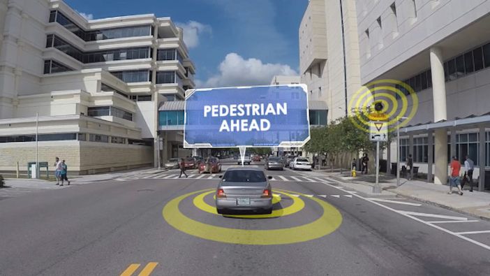
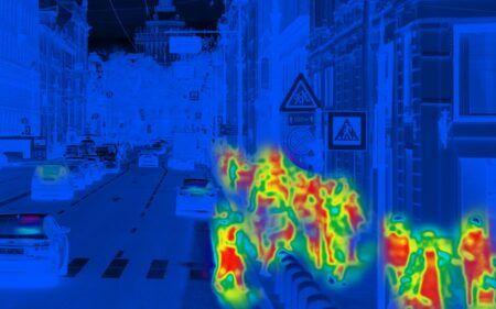
The US Department of Transportation (USDOT) has revealed that when facing a gap in standards interpretation, the Connected Vehicle Pilot sites in Tampa and New York City worked together to harmonize messages for pedestrian safety applications.
One of the goals of the USDOT’s Connected Vehicle Pilot Deployment Program is to accelerate the deployment of interoperable connected vehicle technologies to advance the safety and efficiency of the country’s national highway system.
The vision for interoperable, consistent and seamless communications exchange among connected vehicle systems and devices can only be achieved with precise, non-ambiguous standards in place. With many intelligent transportation systems (ITS) communication standards still under development, the Connected Vehicle Pilot (CVP) sites worked together to ensure a common resolution of any ambiguities and consistent (interoperable) use of the message content.
This program became known as the ‘triples’ and involved a careful review of all standard messages to ensure consistent use and interpretation of all data elements relevant to the planned applications.
The New York City Department of Transportation (NYCDOT) and Tampa Hillsborough Expressway Authority (THEA) CVP sites planned to achieve limited vehicle-to-infrastructure (V2I) interoperability through the successful transmission, reception and parsing of the traffic light Signal Phase and Timing (SPaT) and MAP (intersection geometry) messages.
Both THEA and NYCDOT are deploying pedestrian-related applications that use the exchange of SPaT and MAP messages to alert drivers of the presence of pedestrians in the crosswalk, and to alert pedestrians when it is safe to cross. To ensure that the Tampa and New York applications would be consistent in messaging, THEA and NYCDOT worked together to harmonize the data elements they would be using in the SPaT and MAP messages.
As pedestrian safety applications rely on accurate position information, it was critical that the systems from both sites perceived the crosswalk using the same parameters. In the absence of clarification on the interpretation of crosswalks within the MAP message in the North American profile of ISO 1909, THEA decided to adopt the interpretation of the European profile, while NYCDOT’s solution was based on an approach only in the early stages of consideration by the Standards board.
Although different, both sites’ approaches were compliant with the SAE J2735 standard regarding V2I communications at signalized intersections. NYCDOT’s preferred method digitally defined the crosswalk area as the area between the curbs, while THEA’s preferred method defined the crosswalk based on the sidewalk’s entry/exit point to the crossing, including the pedestrian waiting area.
THEA’s reasoning for including the waiting area within the crosswalk area was to better protect pedestrians with visual disabilities by assisting them with identifying the safe waiting area.
Issues considered included the definitions of geometric features, vehicular and pedestrian traffic paths, conflict points/zones, and MAP message sizes. In the end, it was decided that crosswalks within the MAP message should be implemented from both an infrastructure perspective, such as where the crosswalk lines are painted on the pavement, and a pedestrian application perspective.
NYCDOT is pressing forward with their original plans, while THEA is refining their pedestrian application deployment concept.


