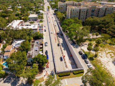
Australian IT and cloud services provider Telstra Enterprise have used an aerial drone to capture a lidar map of the EastLink’s Mullum tunnel in Melbourne. This brings the EastLink tunnel a step closer to being able to support safe trials of fully self-driving cars.
Telstra provided the aerial drone, lidar scanner and lidar map data processing. When the EastLink tunnel was closed for overnight maintenance, one of the company’s experienced pilots controlled and flew the drone to capture the lidar map.
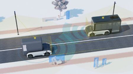
Lidar maps of trial areas are pre-loaded onto onboard systems in most of the latest fully self-driving car prototypes. These cars also have their own lidar scanner that captures a real-time lidar view of the vehicle’s surroundings.
EastLink tunnel’s corporate affairs and marketing manager Doug Spencer-Roy said, “Trials of fully self-driving car prototypes need to be conducted under controlled conditions on Australian roads to test their safe operation in Australian environments, including our urban streets, arterial roads, freeways and tunnels. To enable these trials, the trial sites first need to be mapped in high resolution. With the lidar mapping of EastLink’s Mullum Mullum tunnel by Telstra’s aerial drone, we have now started that process.”
Telstra Enterprise’s executive director growth, Andrew Wildblood said, “Telstra has a dedicated cross-company drone team that are actively exploring the efficiency, cost reduction and safety benefits that drones can deliver our customers, like EastLink, across a number of different industry sectors.”


